Drive from Tumlingtar to Num, cross the Arun River, and climb to Seduwa, the national park entry checkpoint.


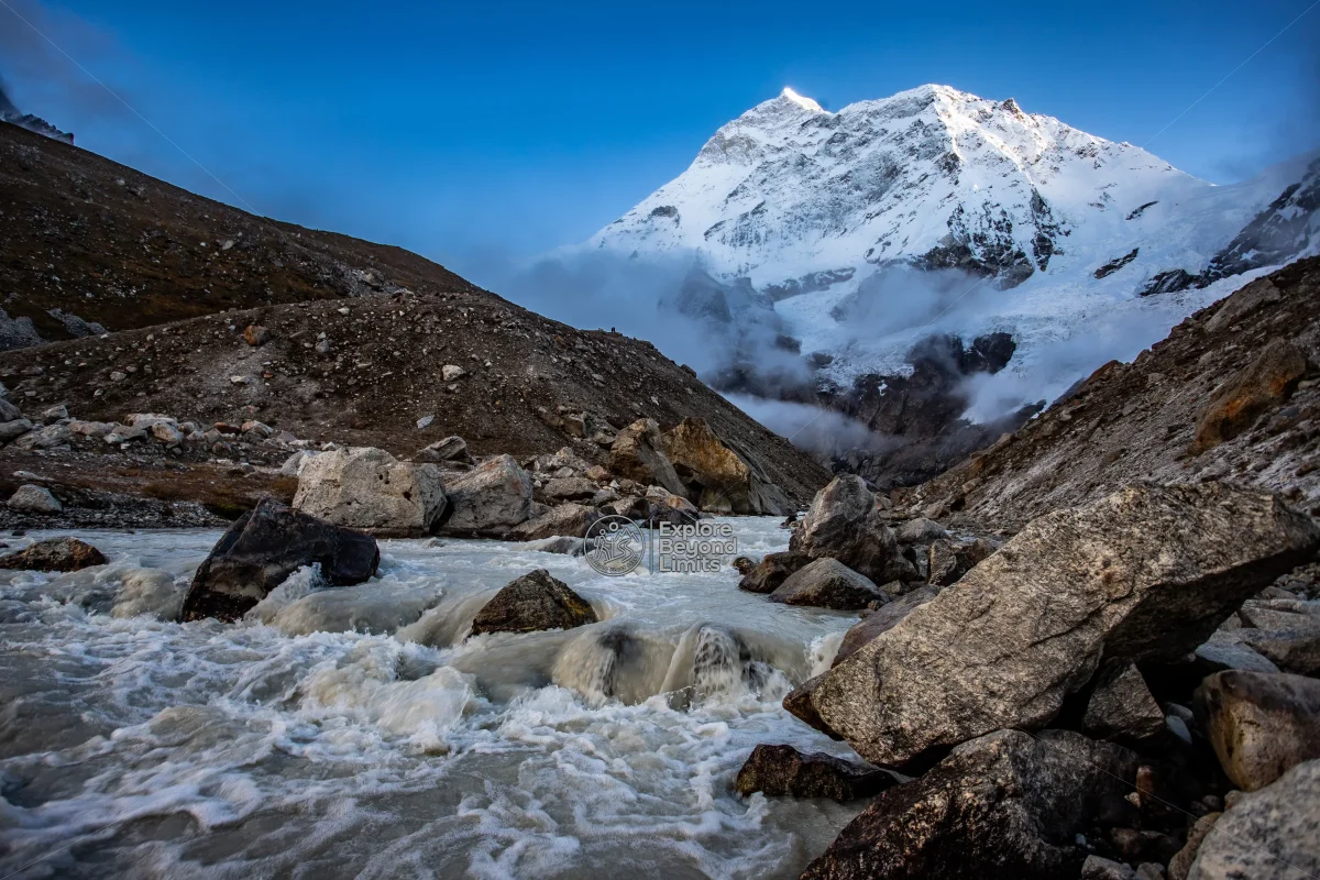
The Makalu Base Camp trek is a 19-day camping trek to 4,870m in eastern Nepal, following the Arun and Barun valleys to the foot of the world's fifth-highest mountain. It's a genuinely remote route with far fewer trekkers than Everest or Annapurna. Full itinerary and cost details are below.
The Makalu Base Camp trek starts with a flight into Tumlingtar and climbs through some of the most biodiverse forest in the Makalu Barun National Park, a protected area the park's own management plan describes as home to over 3,000 flowering plant species. The reward at the end is a close, uncrowded view of Makalu's distinctive four-sided pyramid.
We run this as a fully supported camping trek, since teahouse infrastructure above Tashigaon is minimal. It's a serious undertaking, not a first Himalayan trek.
| Detail | Info |
|---|---|
| Duration | 19 days (trek only, Tumlingtar to Tumlingtar) |
| Max altitude | 4,870m (Makalu Base Camp) |
| Difficulty | Strenuous, remote, camping-supported, includes the Shipton La crossing near 4,170m |
| Best season | March to May, October to November |
| Group size | 2 to 10 people |
| Price basis | Per person, full camping support included |
| Permits required | Makalu Barun National Park entry and Restricted Area Permit |
Email contact@aqtreks.com or visit aqtreks.com to check dates for this one well ahead of your travel window.
Drive from Tumlingtar to Num, cross the Arun River, and climb to Seduwa, the national park entry checkpoint.
The last permanent village before the high country. Restock and rest here.
A steep climb through rhododendron forest, with an acclimatisation day at Khongma before the pass.
Cross the Shipton La (around 4,170m), then descend into forest at Mumbuk. A genuinely tough day.
Follow the Barun River upstream through alpine meadows, with the terrain opening up as the valley climbs.
Short side hikes to help the body adjust before the final push to base camp.
The final climb to base camp, with Makalu’s full pyramid finally visible up close.
A full day at base camp, with an optional climb toward the Barun Glacier for closer views.
Descend the same route back through Langmale, Mumbuk, Khongma and Tashigaon to Num and Tumlingtar.
Built in for flight or road delays out of Tumlingtar, which happen often enough to plan for.
March to May and October to November are the only windows we run this trek in. The Shipton La crossing holds snow well into spring in a heavy winter, and we check conditions with our own crew on the ground before confirming any early-season date.
Check the regional forecast on Windy.com and, if you want to see the route in detail beforehand, the trail is mapped on OpenStreetMap.
You'll need the Makalu Barun National Park entry permit (USD 30) plus a Restricted Area Permit (USD 20 per week for the first four weeks) for the villages closest to the Tibet border. A TIMS card is also required for this trek, unlike some of the other restricted regions we run. We arrange all of it as part of your booking.
There's no meaningful mobile signal past Tashigaon and no hospital closer than a flight away, so this trek genuinely rewards choosing a guide who knows the ground. For altitude guidance generally, see the Himalayan Rescue Association, and check DHM Nepal for eastern Nepal's forecast before you fly.
Ready to plan it? Email contact@aqtreks.com or book at aqtreks.com.
No fixed departure dates published yet for this trek — send us an enquiry for a private departure.
No reviews yet for this trek.
Per person
Total
Keep exploring